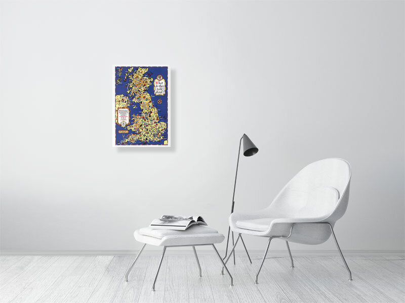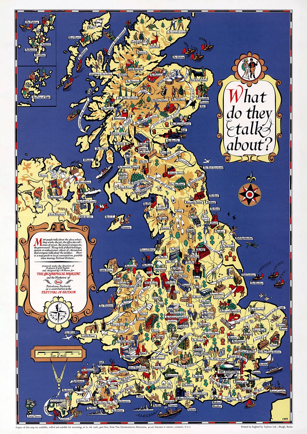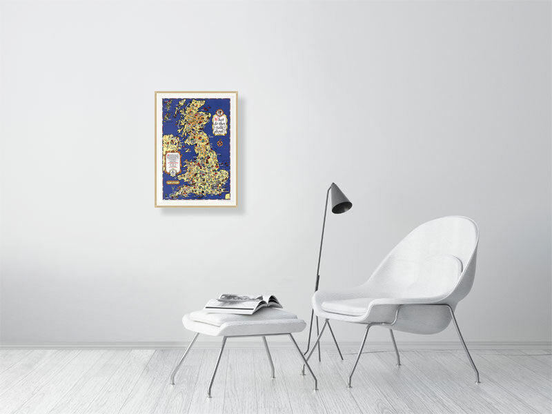


Map of the UK. 1951.
Map of the UK. 1951.
Couldn't load pickup availability
What do they talk about? Colourful pictorial map guide of the British Isles detailing the local conversations you would encounter when touring 1950s Britain.
Places of interest including buildings, landmarks, farming, industry, roads, highways and recreation. Two insets in the upper left and text in the lower cartouche "Most people talk about the place where they work-the pit, the office, the mill - some of prices, the seasons prospects, the government. Many talk of their holidays, sports and enthusiasms... Here is a map guide to local conversation, gambits when touring Festival Britain."
Printed on 310gsm matt textured Hahnemühle German Etching. Genuine art paper offering maximum age resistance.
Handmade to order.
All map prints are sent unframed, unless otherwise requested.
Optional: Professionally mounted in a solid wood oak frame.
Shipping: Royal Mail or Deutsche post.