Kent 1622
Kent 1622
Couldn't load pickup availability
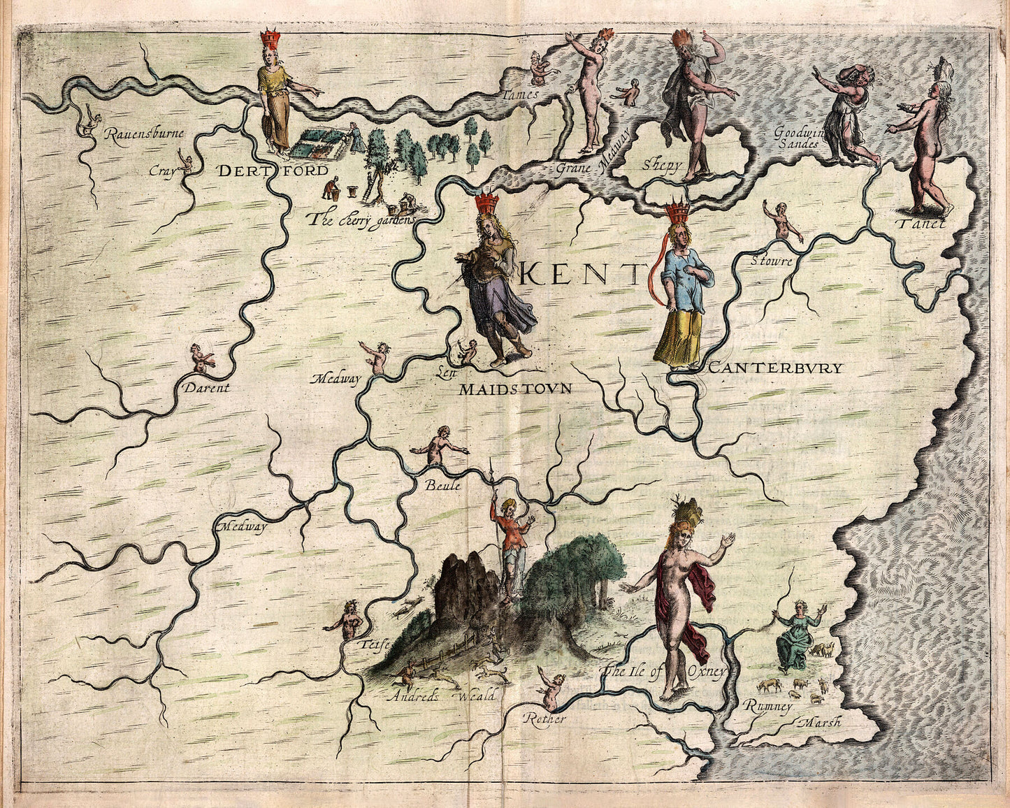
The Poly-Olbion is a topographical poem describing England and Wales and illustrated throughout with topographical maps. Written by Michael Drayton (1563–1631) and initially published in London in 1612, this map is taken from the 1622 edition. It is widely regarded as the first book of pictorial maps ever published.
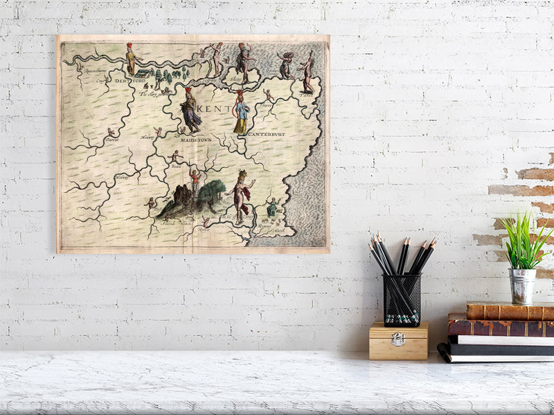
This map shows the English county of Kent, using various figures to illustrate places (most notably Canterbury, Maidstone and Dartford), rivers, and other features.
Printed on 310gsm matt textured Hahnemühle German Etching. Genuine art paper offering maximum age resistance.
Handmade to order.
All map prints are sent unframed, unless otherwise requested.
Shipping: Royal Mail or Deutsche post.
Find us on Redbubble for more products.


