


London. 1922
London. 1922
Normaler Preis
£38.00 GBP
Normaler Preis
Verkaufspreis
£38.00 GBP
Grundpreis
pro
inkl. MwSt.
Versand wird beim Checkout berechnet
Verfügbarkeit für Abholungen konnte nicht geladen werden
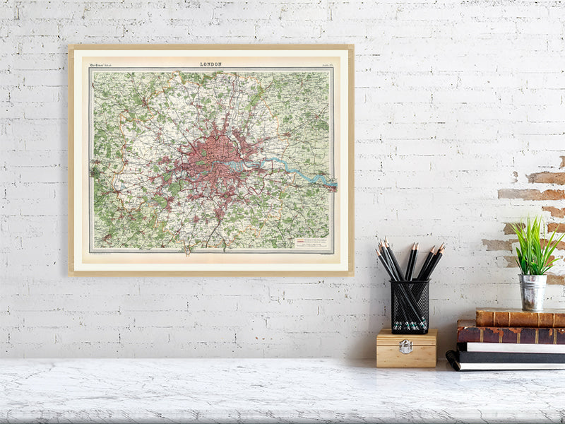
London. The Edinburgh Geographical Institute, John Bartholomew & Co. from "The Times" atlas. (London: The Times, 1922). Colour map showing wooded areas, boundaries of City Police District and County of London in 1922.
Printed on 310gsm matt textured Hahnemühle German Etching. Genuine art paper offering maximum age resistance.
Handmade to order.
All map prints are sent unframed, unless otherwise requested.
Optional: Professionally mounted in a solid wood oak frame.
Shipping: Royal Mail or Deutsche post.
Find us on Redbubble for more products.